
Evaluating Baseline Data for Migratory Birds and Species at Risk
This article is part of a series exploring the views and perspectives of youth, artists and community members working with the Melgund Integrated Nuclear Impact Assessment Project. This initiative is a climate entrepreneurship and arts-based community recreation program, developed through community consultation, engagement participation in the integrated impact assessment process for the NWMO’s proposed Deep Geological Repository for nuclear waste fuel.
What is Proposed
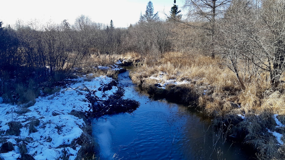
In Section 14.9 of the Initial Project Description, the Nuclear Waste Management Organization (NWMO) outlines its baseline data collection for birds and their habitats within the proposed project site. Utilizing data from 2021-2022, which primarily consisted of desktop mapping, habitat suitability modelling, and eDNA sampling, the proponent identified a variety of avian life. This includes 64 upland breeding bird species (including 10 Species at Risk), three shorebird species, ten waterbird species, and seven raptor species.
The proponent asserts that while additional data collection is necessary for future permits, the current data is "sufficiently comprehensive" to support a risk-informed assessment of potential effects. They have identified candidate Significant Wildlife Habitat (SWH) and noted the presence of a wild rice stand on the north shore of Mennin Lake.
Underlying Assumptions
Our analysis of the text reveals several assumptions that guide the proponent’s current approach:
- Sufficiency of Desktop Data: The assumption that "Tier 1" desktop mapping and eDNA sampling provide a robust enough baseline to form early conclusions about impact significance without extensive ground-truthing.
- Legal vs. Biological Critical Habitat: The assumption that because the habitat for the Eastern Whip-poor-will has not been formally designated as "critical habitat" under the Species at Risk Act (SARA), the biological imperative to treat it as such is less immediate in the planning phase.
- Deferred Validation: The assumption that it is acceptable to present conclusions on risk now, while deferring the comprehensive field studies (such as acoustic monitoring and helicopter surveys) to a later date.
Community Assessment
Through our consultation process, community members and technical reviewers identified significant gaps in the current presentation. A primary concern is the heavy reliance on non-field-validated data. Relying on desktop mapping to characterize a complex ecosystem may lead to an underestimation of species density and the importance of specific micro-habitats. There is a notable contradiction in the documentation: the proponent claims data is "sufficient," yet simultaneously lists a vast array of "planned work" required to truly understand the local bird communities.
Furthermore, the identification of the wild rice stand at Mennin Lake is a critical observation that lacks a corresponding protection strategy. While the text acknowledges its importance as a food supply for wildlife and local community members, it does not integrate this finding into a broader impact assessment. Failure to specifically evaluate impacts on this resource could threaten Indigenous food sovereignty and traditional harvesting practices.
Path Forward
To address these deficiencies, we recommend the following corrective measures:
First, the proponent must prioritize the completion of multi-year, multi-season field surveys before finalizing the Environmental Impact Statement. This includes point counts, acoustic monitoring, and nest searches that specifically target the migratory windows and breeding cycles of identified Species at Risk. A risk-informed assessment must be based on empirical evidence, not just predictive modelling.
Second, a dedicated study on the Mennin Lake wild rice stand is required. This must be conducted in direct consultation with local Indigenous communities to evaluate potential indirect impacts—such as changes in hydrology or water quality—ensuring the continued safety and accessibility of this vital resource.
About the Integrated Assessment Process
The federal Impact Assessment Agency of Canada (IAAC) has formally launched the integrated impact assessment process for the proposed Deep Geological Repository (DGR) for Canada’s Used Nuclear Fuel Project, a major national infrastructure initiative led by the Nuclear Waste Management Organization (NWMO).
The proposed underground repository is designed to permanently contain and isolate used nuclear fuel in a secure geological formation. Wabigoon Lake Ojibway Nation and the Township of Ignace have been selected as host communities for the project. The site is located approximately 21 kilometres southeast of Wabigoon Lake Ojibway Nation and 43 kilometres northwest of Ignace, Ontario, near Highway 17.
According to project materials, the repository would provide permanent storage for approximately 5.9 million bundles of used nuclear fuel. The full lifecycle of the project is expected to span roughly 160 years, including site preparation, construction, operations, closure, and long-term monitoring.
Integrated Federal Review
Major nuclear projects in Canada are subject to an integrated assessment process jointly led by the Impact Assessment Agency of Canada and the Canadian Nuclear Safety Commission (CNSC). This “one project, one review” approach is intended to streamline regulatory oversight while ensuring rigorous evaluation of environmental, health, social, economic, and Indigenous rights impacts.
Under this framework, IAAC oversees the impact assessment requirements under the Impact Assessment Act, while the CNSC regulates nuclear safety under the Nuclear Safety and Control Act. The CNSC will issue the initial site preparation licence and manage all subsequent nuclear licensing for the project’s duration.
The integrated assessment also includes a focus on potential impacts on Indigenous Peoples, including rights, land use, cultural practices, health, and socio-economic conditions. Where potential adverse effects are identified, the process is intended to identify mitigation measures to reduce or avoid harm.
Public Comment Period Now Open
The first public comment period for the project is currently open and will run until February 4, 2026. During this phase, the public is invited to provide feedback on the Summary of the Initial Project Description submitted by the NWMO. Submissions received during this period will inform IAAC’s summary of issues, which will guide the next stages of the impact assessment. All comments submitted become part of the public project record and are posted to the federal Impact Assessment Registry.
This plain-language summary is provided by ECO-STAR North and Art Borups Corners to support public engagement.
Disclaimer: The views and perspectives expressed in this article are solely those of the independent arts program led by ECO-STAR North and Art Borups Corners. They do not reflect the official positions of the Nuclear Waste Management Organization (NWMO) or the Government of Canada.