What are key concerns raised about baseline studies?
As a Senior Regulatory Intelligence Analyst, I have synthesized the public registry, technical reviews, and proponent submissions regarding the Revell Site Deep Geological Repository (DGR). The baseline studies—the foundational data used to predict environmental and social impacts—are a primary point of contention for stakeholders, particularly those in the unorganized territories of Melgund Township (Dyment and Borups Corners).
Executive Summary
The primary concerns regarding baseline studies center on the proponent’s (NWMO) reliance on regionalized data, the exclusion of critical transportation corridors from the assessment scope, and the perceived inadequacy of data regarding Indigenous traditional knowledge and local socio-economic vulnerabilities. Stakeholders argue that the current baseline is ‘sufficiently advanced’ only in the proponent’s view, while failing to provide the granular, site-specific evidence required to guarantee the safety of the immediate neighbors in unorganized territories.
Detailed Analysis
The baseline studies are currently characterized by a tension between the proponent’s ‘high confidence’ in regional data and the reality of site-specific data gaps. Key areas of concern include:
- Hydrological and Hydrogeological Gaps: The reliance on regional data from Dryden (55 km away) and Thunder Bay (240 km away) to characterize the Revell site’s micro-climate and water quality is scientifically insufficient. Residents of Melgund Township, who rely on private wells, are particularly concerned that the baseline fails to account for the unique fracture networks of the Revell Batholith.
- Exclusion of Transportation: The NWMO’s decision to scope out off-site transportation from the Impact Assessment (IA) is a major red flag. Stakeholders argue that the daily transit of high-level nuclear waste through the Trans-Canada Highway (Highway 17) corridor is an integral part of the project’s environmental footprint, not a separate regulatory matter.
- Socio-Economic and Cultural Omissions: The baseline studies rely heavily on census data that is often suppressed or rounded for small populations, rendering the economic profile of unorganized territories like Melgund Township effectively invisible. Furthermore, the integration of Indigenous Knowledge (IK) is described as ‘collaborative’ but lacks the binding, co-management protocols required to ensure it influences project design.
Evidence from Public Registry
Public comments reflect a deep-seated distrust of the proponent’s ‘low risk’ conclusions. Commenters frequently cite the ‘Highway of Death’ (Highway 17) as an accident-prone corridor that cannot safely support nuclear waste transport [Ref: 258]. Indigenous Nations, including the Grand Council Treaty #3, have expressed profound dissatisfaction with the Impact Assessment Agency of Canada’s (IAAC) Summary of Issues, asserting that the process ignores their inherent authority and traditional laws [Ref: 705]. Residents of Melgund Township have highlighted the total absence of local emergency services (fire, police, ambulance) as a critical baseline failure [Ref: 391].
Technical Deficiencies & Gaps
Our internal review identifies the following gaps:
- Data Suppression: The reliance on Statistics Canada data for small populations leads to data suppression, which masks the true socio-economic vulnerability of unincorporated areas.
- Incomplete Geochemical Baseline: The classification of excavated rock as ‘non-acid generating’ is based on preliminary testing, which is insufficient for a project of this scale [Analysis: Section 14.3].
- Lack of Cumulative Effects: The baseline fails to model the cumulative pressure of the DGR alongside existing industrial activities (forestry/mining) in the Wabigoon and Dryden Forest Management Units.
Recommendations & Mandates
We strongly recommend that the NWMO immediately commission a site-specific, high-resolution baseline study for the Melgund Township area. This must include physical field verification of Species at Risk (SAR) and a comprehensive hydrogeological model that accounts for the specific fracture networks of the Revell site. The proponent strongly recommends establishing a ‘Joint Regulatory Table’ with the Local Services Board of Melgund to ensure that the baseline data reflects the lived reality of the project’s closest neighbors.
Furthermore, we strongly recommend that the IAAC mandate the inclusion of the entire transportation corridor as a ‘Valued Component’ within the Impact Statement. This is the only way to address the cumulative public safety and emergency response concerns raised by residents along Highway 17.
Conclusion
The Revell Site DGR project is currently proceeding on a baseline that is technically and socially incomplete. The path forward requires a shift from ‘proponent-led’ data collection to a co-managed, transparent, and site-specific baseline that respects the jurisdiction of the unorganized territories and the rights of Indigenous Nations.
About the Deep Geological Repository (DGR) for Canada’s Used Nuclear Fuel Project
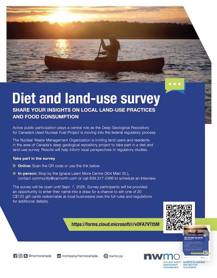
The Nuclear Waste Management Organization (the NWMO) is proposing a new underground deep geological repository system designed to safely contain and isolate used nuclear fuel. Wabigoon Lake Ojibway Nation (WLON) and the Township of Ignace have been selected as the host communities for the proposed project, which is located 21 kilometres southeast of the WLON and 43 kilometres northwest of the Town of Ignace, Ontario along Highway 17. As proposed, the Deep Geological Repository (DGR) for Canada’s Used Nuclear Fuel Project would provide permanent storage for approximately 5.9 million bundles of used nuclear fuel. The project is expected to span approximately 160 years, encompassing site preparation, construction, operation and closure monitoring. The project assessment is being conducted in collaboration with the Canadian Nuclear Safety Commission.
Learn more about the Integrated Impact Assessment process which is led by the Impact Assessment Agency of Canada and Canadian Nuclear Safety Commission.
- Read the Summary of Issues (February 16, 2026)
- Read the Summary of the Initial Project Description (January 5, 2026)
- Read the Initial Project Description (January 5, 2026)
- Learn More about the Melgund Integrated Nuclear Impact Assessment (MINIA) Project
- Learn More about the Nuclear Waste Management Organization (NWMO)