Mapping the Impact: A Review of the Revell Site Proposal
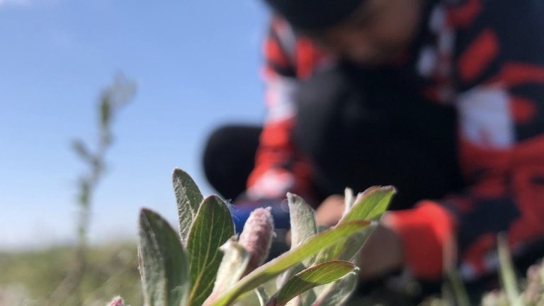
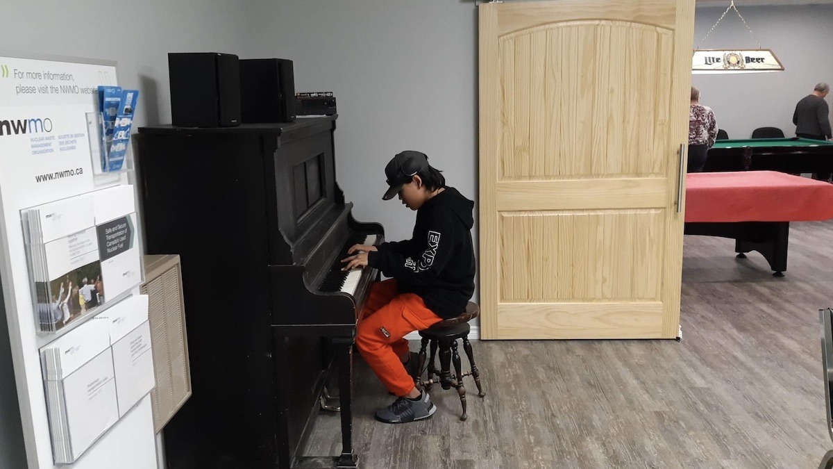
This article is part of a series exploring the views and perspectives of youth, artists and community members working with the Melgund Integrated Nuclear Impact Assessment Project. This initiative is a climate entrepreneurship and arts-based community recreation program, developed through community consultation, engagement participation in the integrated impact assessment process for the NWMO’s proposed Deep Geological Repository for nuclear waste fuel.
What is Proposed
The Nuclear Waste Management Organization (NWMO) has identified a site within the Canadian Shield, approximately 43 km northwest of Ignace and 21 km from the Wabigoon Lake Ojibway Nation (WLON) reserve, for the Revell Deep Geological Repository. The proposal involves a 17,600-hectare “withdrawal area” on Crown land currently within the Wabigoon and Dryden Forest Management Units. The proponent claims the site was selected based on technical suitability, transportation safety, and “community willingness,” with plans to transfer land ownership from the Ontario Ministry of Natural Resources prior to licensing. These claims are detailed in the Initial Project Description.
Underlying Assumptions
- The assumption that “community willingness” is adequately represented by municipal bodies like Ignace, potentially overlooking unorganized territories and smaller settlements.
- The assumption that administrative land transfers can proceed smoothly without first resolving existing private land and mining claim encumbrances.
- The assumption that geographic distance from larger centers (Ignace/Dryden) minimizes the social and environmental impact on closer, smaller communities.
- The assumption that “social and cultural perspectives” were integrated into site selection without providing specific evidence or metrics of Indigenous knowledge inclusion.
Community Assessment
Our assessment reveals a significant “narrative distance” in the proponent’s description. While the NWMO emphasizes distances to larger townships, the communities of Borups Corners and Dyment are actually the closest, situated only 10 km and 13 km from the project centroid, respectively. This spatial framing risks marginalizing the residents who will bear the most direct risks regarding noise, traffic, and potential radiological events. Furthermore, the project overlaps with private land and active forest management units, threatening local timber economies and ecological connectivity. For the Local Services Board of Melgund, these are not just coordinates; they represent a fundamental shift in land use that could depress property values and alter the community’s character. The use of “tentative” coordinates for major facilities further complicates the ability of local residents to assess site-specific environmental disturbances.
Path Forward
To address these gaps, the proponent must provide a detailed “Willingness and Consultation Report” that explicitly defines the criteria used to determine community support, distinguishing between the consent of Indigenous nations and the “willingness” of municipal bodies. We recommend a specific socio-economic impact assessment for Borups Corners and Dyment to ensure these immediate neighbors are not marginalized. Additionally, a “Forestry and Biodiversity Integration Plan” is required to justify the removal of land from timber production and ensure ecological integrity. Transparency regarding the resolution of private land claims and a clearer definition of “willingness” metrics are essential for a fair and rigorous assessment process.
About the Integrated Assessment Process
The federal Impact Assessment Agency of Canada (IAAC) has formally launched the integrated impact assessment process for the proposed Deep Geological Repository (DGR) for Canada’s Used Nuclear Fuel Project, a major national infrastructure initiative led by the Nuclear Waste Management Organization (NWMO).
The proposed underground repository is designed to permanently contain and isolate used nuclear fuel in a secure geological formation. Wabigoon Lake Ojibway Nation and the Township of Ignace have been selected as host communities for the project. The site is located approximately 21 kilometres southeast of Wabigoon Lake Ojibway Nation and 43 kilometres northwest of Ignace, Ontario, near Highway 17.
According to project materials, the repository would provide permanent storage for approximately 5.9 million bundles of used nuclear fuel. The full lifecycle of the project is expected to span roughly 160 years, including site preparation, construction, operations, closure, and long-term monitoring.
Integrated Federal Review
Major nuclear projects in Canada are subject to an integrated assessment process jointly led by the Impact Assessment Agency of Canada and the Canadian Nuclear Safety Commission (CNSC). This “one project, one review” approach is intended to streamline regulatory oversight while ensuring rigorous evaluation of environmental, health, social, economic, and Indigenous rights impacts.
Under this framework, IAAC oversees the impact assessment requirements under the Impact Assessment Act, while the CNSC regulates nuclear safety under the Nuclear Safety and Control Act. The CNSC will issue the initial site preparation licence and manage all subsequent nuclear licensing for the project’s duration.
The integrated assessment also includes a focus on potential impacts on Indigenous Peoples, including rights, land use, cultural practices, health, and socio-economic conditions. Where potential adverse effects are identified, the process is intended to identify mitigation measures to reduce or avoid harm.
Public Comment Period Now Open
The first public comment period for the project is currently open and will run until February 4, 2026. During this phase, the public is invited to provide feedback on the Summary of the Initial Project Description submitted by the NWMO. Submissions received during this period will inform IAAC’s summary of issues, which will guide the next stages of the impact assessment. All comments submitted become part of the public project record and are posted to the federal Impact Assessment Registry.
This plain-language summary is provided by ECO-STAR North and Art Borups Corners to support public engagement.
Disclaimer: The views and perspectives expressed in this article are solely those of the independent arts program led by ECO-STAR North and Art Borups Corners. They do not reflect the official positions of the Nuclear Waste Management Organization (NWMO) or the Government of Canada.