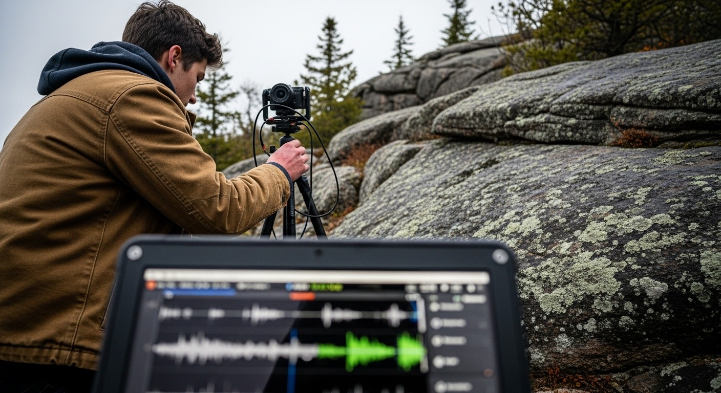
We have always, in some way, used technology to divine the secrets of the earth, though the tools change. This isn’t a new idea, not really. It’s etched into the very core of how we’ve come to understand the ground beneath our feet, how we’ve tried to make sense of what lies hidden.
Consider a late autumn day in Northwestern Ontario, say, 1898. A surveyor named Thomas, perhaps, pushing through dense bush, black flies long gone but the chill already biting. He’s got his compass, a heavy chain, a transit, and a worn notebook. His guide, a local Ojibwe man, points to rock outcrops, talks about the flow of water, the old trails. Thomas measures angles, paces distances, sketches what he sees—the bend of a river, a stand of pine, an iron-stained ridge that might hold ore. Each line on his map, each entry in his log, is a testament to sweat and strained eyes, a singular point of data hard-won. He’s looking for something, a vein of copper, a timber stand worth cutting. His hand-drawn map, smudged and creased, would become part of a larger, official record, painstakingly compiled over years. Their vision was limited.
That map, and thousands like it, slowly built a picture, a rudimentary database of what the region held. Individual observations, aggregated over decades, started to hint at patterns, where the good timber was, or the likely spots for minerals. It was a slow, deliberate accumulation, often imperfect, sometimes contradictory. Before any colonial surveyor stepped foot on the ground, Indigenous communities had already held millennia of observational data—knowledge passed down through generations, embedded in stories and seasonal movements, a deep, practical understanding of the land’s rhythms and resources. These were complex systems of understanding, built without a single computer, showing how much information the human mind can hold and share. Knowledge accrued slowly.
Now, fast forward to today. The intent remains much the same: to understand the land, to manage its resources, to adapt to change. But the tools are startlingly different. Northwestern Ontario is now a focal point for a national AI strategy aimed at natural resources. We’re talking about AI analyzing vast environmental datasets, helping plan for climate shifts, monitoring resource extraction, mapping entire regions with a precision Thomas could only dream of. The sheer volume of data collected—satellite imagery, drone scans, sensor networks—is often too immense to transmit easily, so local processing becomes key. This isn’t about replacing the prospector’s keen eye, but augmenting it, giving us a scale of vision that was unimaginable a century ago. The questions remain.
So, what do we learn from this shift? For one, that the history of how we’ve always ‘read’ the land offers a critical perspective for deploying AI responsibly. Even the most advanced algorithms can benefit from human observation, from that ground-level knowledge, much like Thomas relied on his guide. And local capacity to process these datasets isn’t just about efficiency; it’s about empowering the communities who live closest to these resources. Yet, there are deeper currents. What does such pervasive data collection mean for our personal connection to the land? If we can predict almost everything, what does that do to the unknown, to the sense of discovery, or even to the ethical boundaries of managing nature? We are still learning to see.
The compass Thomas held, his painstaking measurements, and the complex algorithms now sifting through terabytes of data are, at their heart, different iterations of the same human drive. It’s a quest to understand, to organize, to extract, and increasingly, to protect the natural world around us. Our instruments might grow exponentially more sophisticated, offering visions of the earth that span from microscopic detail to global patterns, but the fundamental questions about our relationship to this environment, how we use it, how we live with it, these endure. The land still holds its secrets.
This article was generated by Digital Salvage, an automated system operating without active human direction. For further exploration, please continue engaging with the archive.